
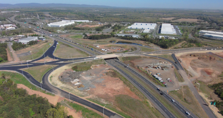
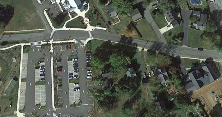
Under a Limited Services Statewide Design Term Contract, ATCS partnered with VDOT to deliver the design of a 10-foot ADA-compliant shared use path along US 29 in Albemarle County, replacing a narrow 5-foot sidewalk. The project aims to improve pedestrian and bicycle safety, enhance accessibility, and strengthen community connections.
ATCS led the design effort, providing both transportation design and survey and geomatics services to support the project’s success. Working closely with VDOT, the team coordinated priorities, managed technical requirements, and anticipated challenges before they could impact delivery. The new pathway needed to be integrated into a developed corridor with active vehicle, bicycle, and pedestrian traffic, requiring careful planning to avoid major disruption while addressing utility locations and environmental considerations.
Accelerating Design with Coordinated Survey Solutions
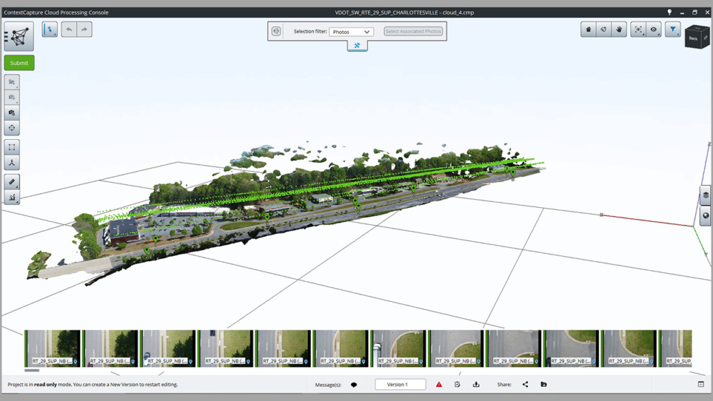
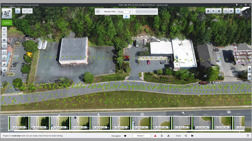
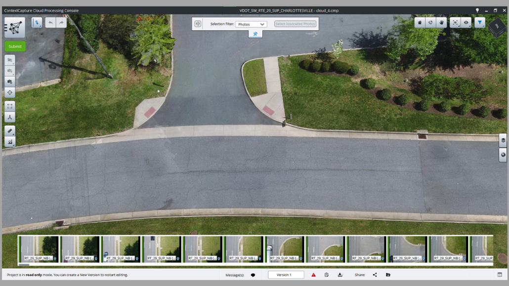
To meet VDOT’s schedule, survey data needed to be available early in the process. Within the first week of notice to proceed, ATCS surveyed 2,200 linear feet of corridor, covering approximately 13 acres, and captured more than 2,600 high-resolution aerial photos using Unmanned Aerial Systems (UAS).
The imagery was processed in Bentley ContextCapture and georeferenced using Networked GPS RTK to ensure precision. The survey data provided the design team with a detailed 3D terrain model that allowed concept development to begin before the traditional field survey was complete, saving valuable time while maintaining accuracy.
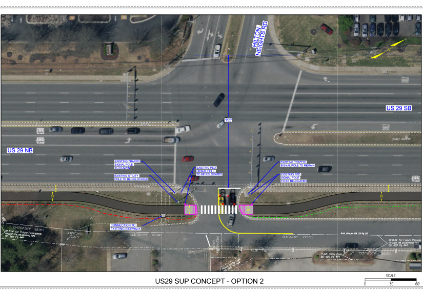
Using insights from the model, ATCS refined the pathway design to work around constraints without causing extensive impacts to the project site. The design elements preserved the integrity of the surrounding area and helped avoid costs and delays that often come with rework.
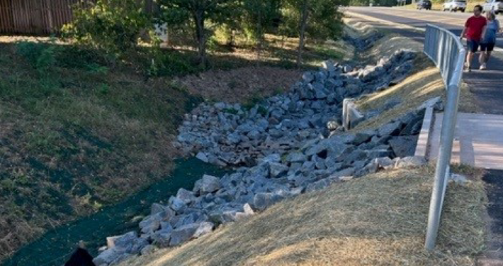
Identifying and Documenting Hidden Infrastructure
During the as-built survey phase, our team identified unusual water movement in surface drainage structures. Investigation revealed primary storm drainage system constructed in 1954 buried 30 to 40 feet underground and overlaid by newer drainage systems. This system had been poorly documented in previous surveys.
ATCS partnered with VDOT’s project manager and maintenance staff to research historical records, confirm the system’s layout, and incorporate the findings into the survey deliverables. Addressing this during design helped reduce the risk of construction delays and unexpected costs.
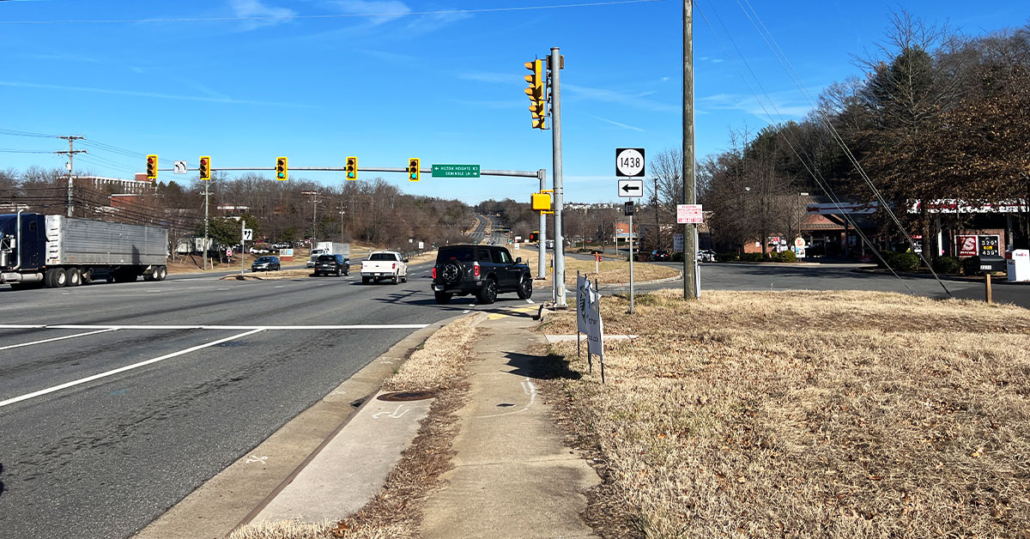
Delivering a Constructible, Accessible Design
The completed design integrates the 10-foot shared use path into the existing corridor, improving pedestrian crossings, optimizing push button placement, and adding updated signage to enhance safety for both pedestrians and cyclists. Entrances were reconstructed to meet ADA standards. Each element was designed to minimize impacts on adjacent properties and service roads, balancing functionality with a minimal environmental footprint.
Looking Ahead
With ATCS’ survey and design work complete, the project is advancing toward construction. When built, the US 29 shared use path will offer safer, more accessible travel for pedestrians and cyclists and contribute to improved mobility within the community.


